Advancing Spatial Intelligence in Urban Practice
*
Advancing Spatial Intelligence in Urban Practice *
The GeoSpatial Hub equips experts and organizations with the tools, training, and community to turn spatial data into meaningful urban and environmental impact.
Powered by All Things Urban — the leading global career platform for of 100,000+ urban professionals and organizations.
Trusted by 300+ Professionals From Leading Organizations


We help professionals and institutions turn spatial data into insight. Our work spans education, tailored training, consulting, and community building.
-
Education
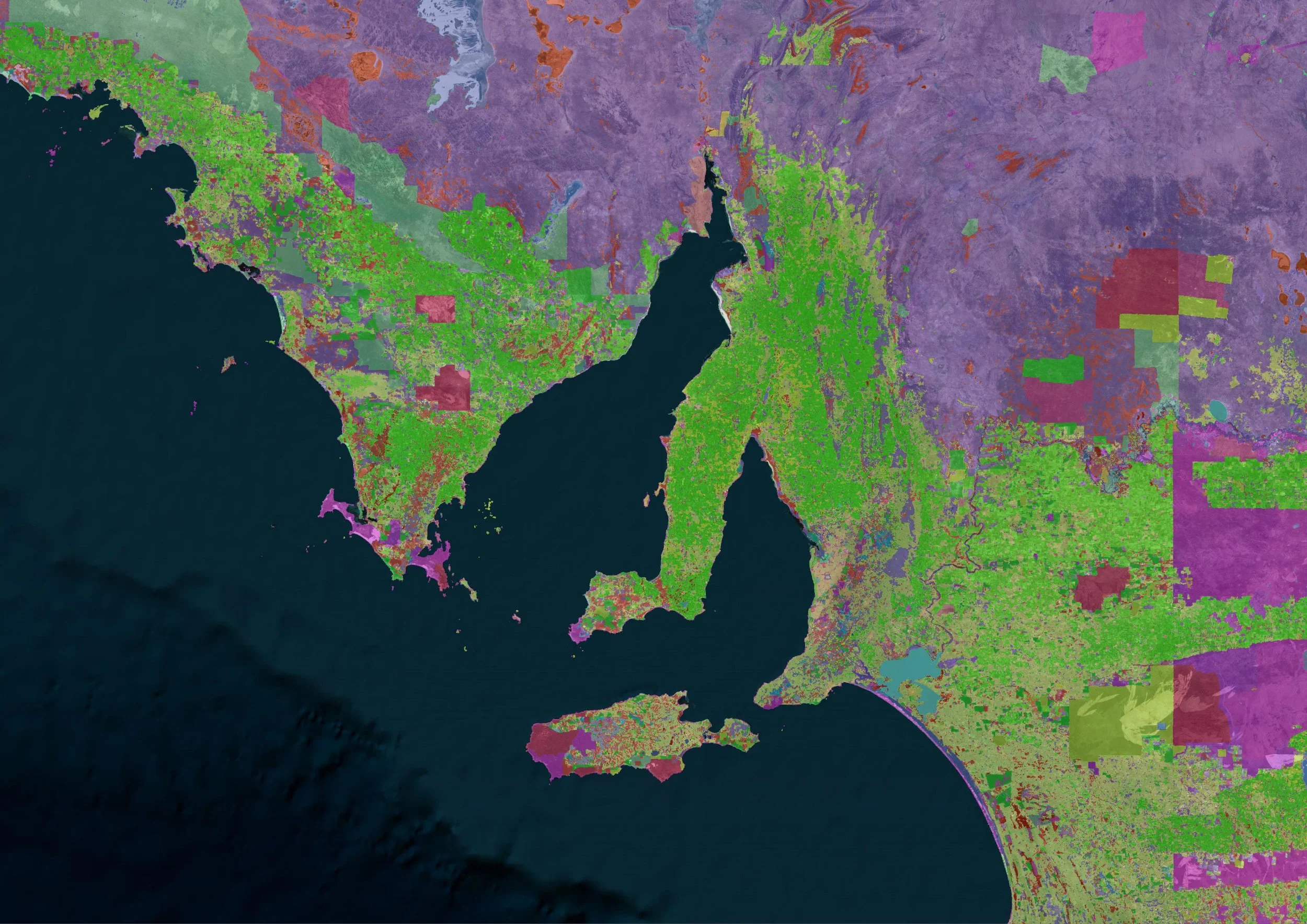
Master GIS and spatial analysis through expert-led courses. From fundamentals to advanced methods, learn how to turn spatial data into insights that drive better urban and environmental outcomes.
-
Custom Trainings & Capacity Building
Tailored programs for companies, universities, and research institutes. We design training that fits your team’s workflow — whether you’re building internal GIS capacity or applying spatial tools to strategic projects.
-
Consulting
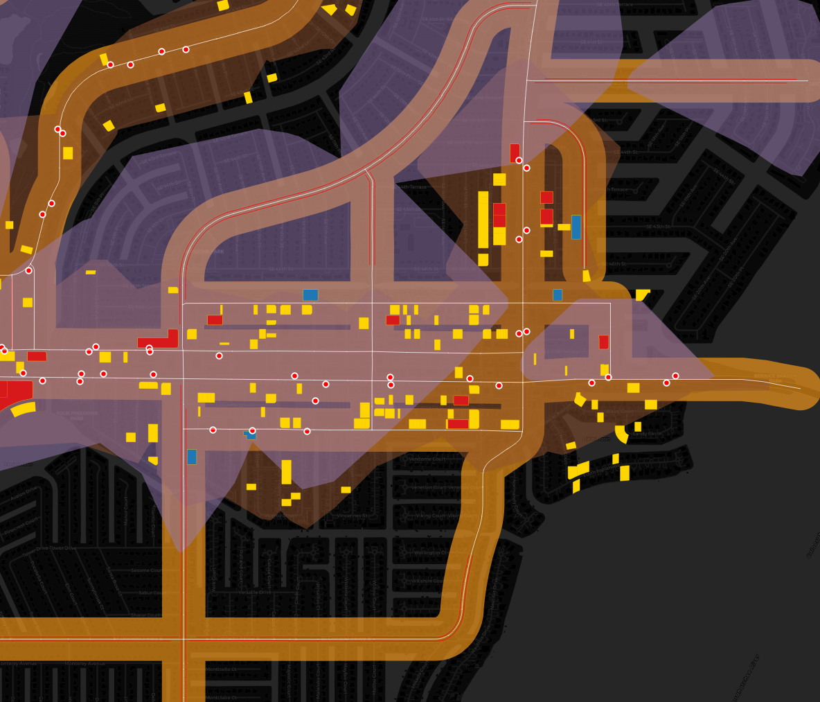
Partner with us to bring spatial intelligence directly into your strategy and projects. We provide expert support in data visualization, spatial analysis, and GIS-based decision-making for organizations tackling complex urban and environmental challenges.
-
Community
Join a global network of urbanists and environmental professionals using GIS to solve real-world challenges. Exchange knowledge, share case studies, and collaborate on data-driven innovation.
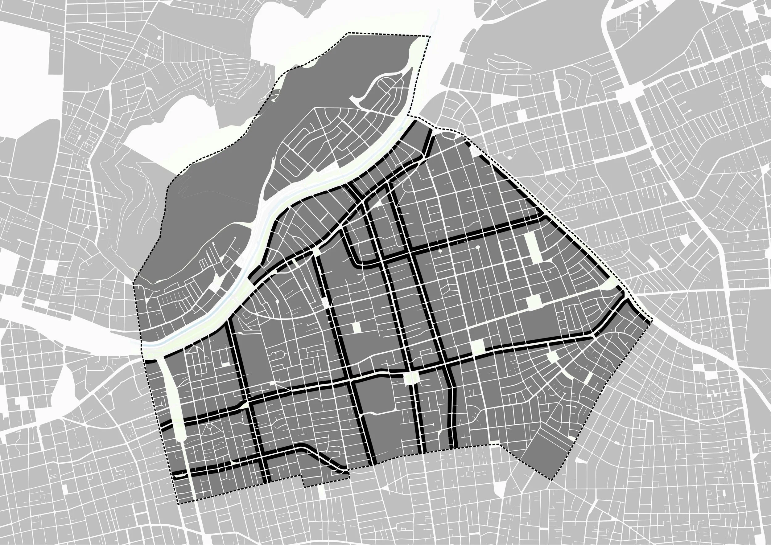
Learn GIS & Spatial Analysis to Map, Analyze, and Design Better Cities
Master GIS and spatial analysis at your own pace or through live cohort-based programs and one-off workshops. All our trainings combine practical exercises, real data, and hands-on feedback.

GIS and Spatial Analysis for Urban Practitioners
-
A 6-week program that teaches you how to use GIS and spatial analysis to support real urban and environmental decisions. Includes live workshops, hands-on exercises, and a final project.
-
January 2025
-
From €79/month
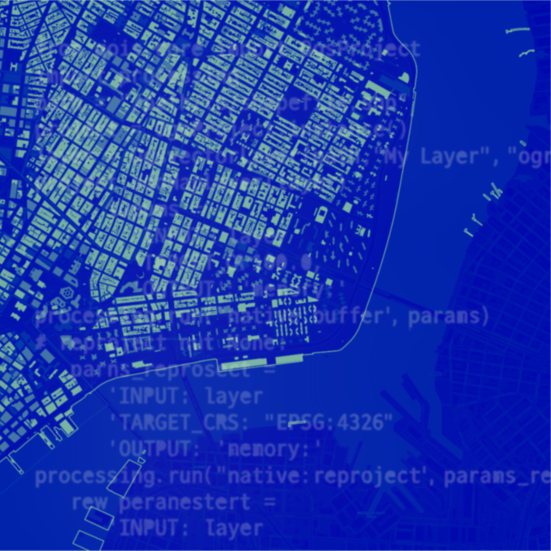
AI-Aided Workflows in QGIS for Urban Practitioners
-
Learn how to speed up and improve your GIS work using AI tools inside and around QGIS. Ideal for professionals who want smarter, faster spatial workflows.
-
Tue, 16 Dec 2025, 6 PM CET / 12 PM EST
-
Full price €49 / Student price €29
Storytelling with Spatial Analysis & Maps
-
Discover how to turn spatial data into clear, compelling stories for policy, design, and public communication. Focus on map design, visual clarity, and narrative structure.
-
February 2026
-
From €95
WORKSHOP
SHORT COURSE
FLAGSHIP COURSE
GIS Training, Consulting & Spatial Capacity Building for Organizations
We help organizations integrate spatial analysis into planning, research, strategy, climate action, mobility, and environmental work. All programs and services are tailored to your team’s goals, data, and workflows.
Tailored GIS Trainings
Custom programs for universities, research institutes, companies, NGOs, and public agencies.
From fundamentals to advanced methods — delivered through workshops or multi-week training series.
Applied Spatial Consulting
Project-based support combining GIS expertise with urban, environmental, and mobility knowledge.
We help teams work through mapping, geodata structuring, spatial modeling, scenario analysis, and decision-ready dashboards.
Strategic Spatial Insights
Executive sessions and leadership briefings on how to use spatial intelligence for policy, planning, innovation, and strategic direction
Long-Term Capacity Building
Develop sustainable in-house GIS practices: workflows, templates, data pipelines, tool selection, QA processes, and best practices.
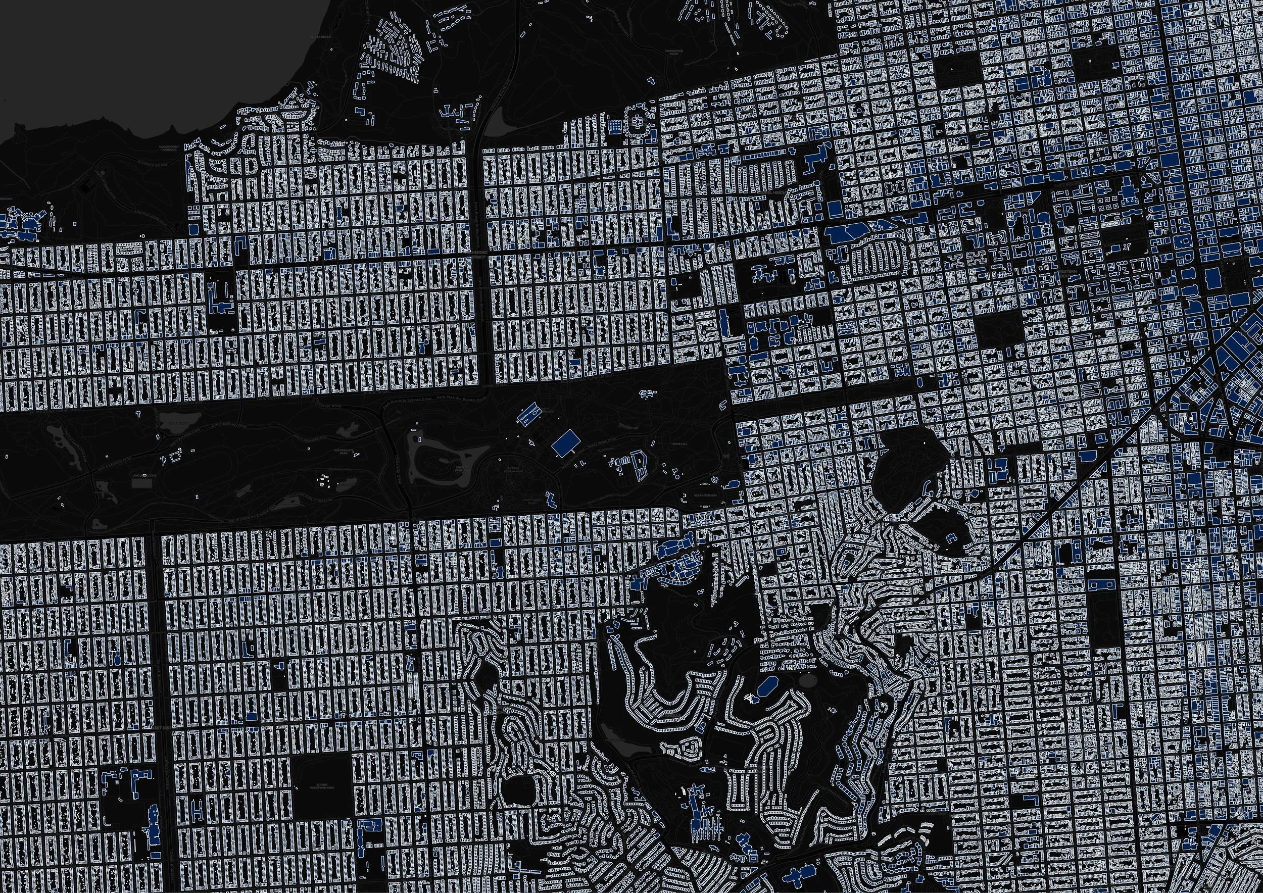
Data Management & Geodata Structuring
Support with organizing, cleaning, standardizing, and maintaining geospatial data. This includes building data schemas, preparing datasets for analysis, setting up QGIS/ArcGIS environments, and creating repeatable workflows.
Collaboration on Research & Innovation
Co-develop spatial components for academic research, impact assessments, and innovation projects. Ideal for teams integrating GIS into ongoing work for the first time.
Who We Work With
Urban Planning Departments · Architecture Firms · Urban Design Studios · Consultancies · Universities · Think Tanks · Research Institutes · NGOs · Public Agencies · Urban Tech & Mobility Companies · Sustainability & R&D Teams
Client Reviews
“A QGIS course is essential for spatial data analysis, and I found the customized training highly valuable due to its expert trainers, interesting training materials and excellent organization.”
— Former Customer“The course was good to refresh what I had learned some years ago on GIS, and it gave me the confidence to start using the software again. And try and use it more on the projects I currently work in.”
— Former Customer“Every detail was thoughtfully executed. We're thrilled with the outcome.”
— Former CustomerRequest Custom GIS Support for Your Team
Whether you’re looking for training, consulting, or data management support — share a few details and we’ll get back to you with tailored recommendations.
Contact Us
Interested in joining a course, organizing a custom training, or exploring a partnership? Fill out the form — we’d love to connect.